ABOUT/CASE STUDIES/LANDSLIDE
How satellite data identified an emerging landslide hotspot in Nepal
AERIAL VIEW OF THE TIMURE VILLAGE AND ITS FOOTPRINT - SOURCE: RADIOM
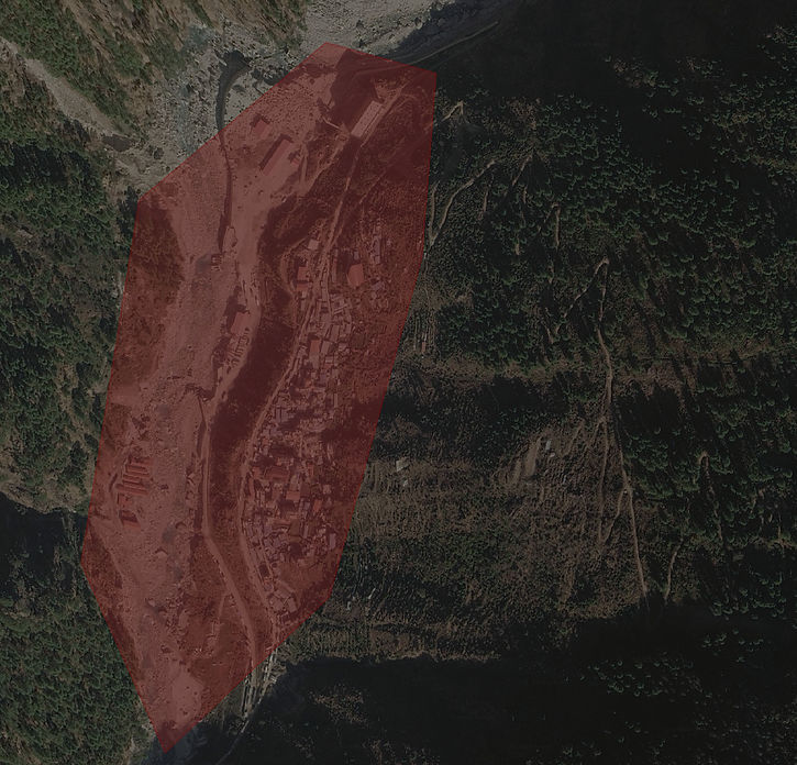
WHAT RADIOM DETECTED.
T-26 DAYS
03-08-2026
The area was flagged
T-0 DAYS
26-08-2026
The landslide occurred
THE EVENT
On August 26, 2026, a massive glacier collapse on Langtang Lirung, unleashed a catastrophic rock and ice avalanche. This debris quickly transformed into a high-velocity mudflow, traveling 13 miles downstream in just seven minutes and causing severe flooding along the Lhende Khola and Trishuli River valleys. The disaster devastated infrastructure across the border region—destroying settlements, roads, bridges, and hydropower projects—and resulted in a immense human toll, with over 1,300 confirmed deaths in Nepal and thousands more reported missing across Nepal and Tibet.

AERIAL VIEW OF THE TIMURE VILLAGE - SOURCE: RADIOM
THE MODEL
Landslides are among the most difficult environmental hazards to anticipate.
The event itself can happen within minutes, but the environmental conditions contributing to slope instability can develop over days, weeks or months.
In Nepal, a combination of terrain, environmental conditions and changing land-surface characteristics created conditions associated with elevated landslide exposure.
RADIOM's analysis identified these conditions approximately one month before the event occurred.
THE EARLY SIGNAL
RADIOM combined spatial and temporal environmental information to identify locations where multiple indicators converge.
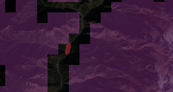
For the Nepal analysis, satellite-derived and geospatial data were used to examine the conditions surrounding the area of interest. The analysis identified a clear spatial signal of elevated landslide exposure.
At the time of the analysis, the landslide had not yet occurred. The signal was already visible in the underlying environmental data.
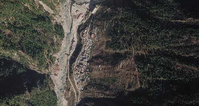
AERIAL VIEW OF THE TIMURE VILLAGE - SOURCE: RADIOM
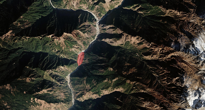
AERIAL VIEW OF THE TIMURE VILLAGE AND ITS FOOTPRINT - SOURCE: RADIOM
EXTREME
HIGH
HAZARD EXPOSURE
LANDSLIDE GEOSPATIAL DATA - SOURCE: RADIOM
T-26 DAYS
Approximately one month before the event, RADIOM's analysis identified the location as an area of elevated landslide exposure.
No disaster had yet occurred.
The result was generated from environmental and satellite-derived information rather than from knowledge of the subsequent event.
T-0 DAYS
Approximately one month after the original analysis, a major landslide occurred in the area previously identified by RADIOM.
The event provided an opportunity to compare the pre-event satellite-based assessment with what subsequently happened on the ground.